Capture
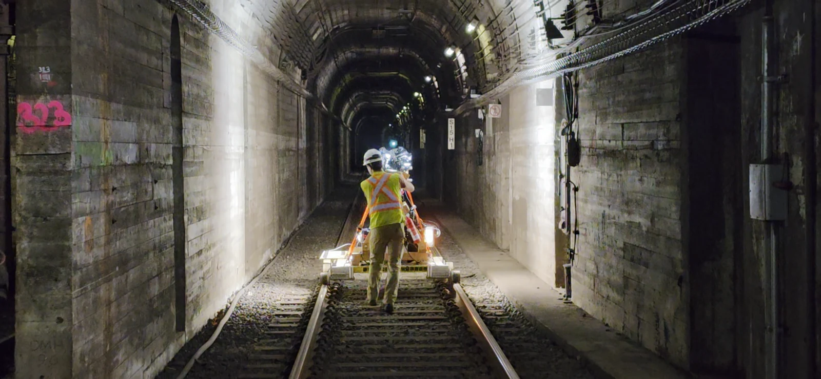
Plan access and collect high-resolution visual and spatial data.
Inspection Support · Reality Capture · Asset Records
UrbanSight helps inspection teams collect imagery and LiDAR data, organize condition records, and compare observations over time. These tools and services support field inspection, documentation, and reporting, with inspection decisions and engineering judgment remaining with qualified professionals.
Supporting inspection teams
Accessible imagery, location references, and prior findings help inspectors prepare for field work and document observations consistently.
UrbanSight helps inspection teams document what changed? A visual and condition history provides reference information for the current inspection. Inspection scope, field methods, verification, and engineering evaluation are determined by qualified professionals and applicable requirements.
Workflow
UrbanSight provides data capture, continuous imagery, condition mapping, and record-management support alongside the inspection team's field work.
Plan access and collect high-resolution visual and spatial data.
Rectify and stitch imagery into a continuous station-referenced condition record.
Associate known findings and new observations with locations and persistent defect IDs.
Provide reference records for inspectors to locate findings and verify conditions in the field.
Help inspectors compare current findings with earlier records and document verified changes.
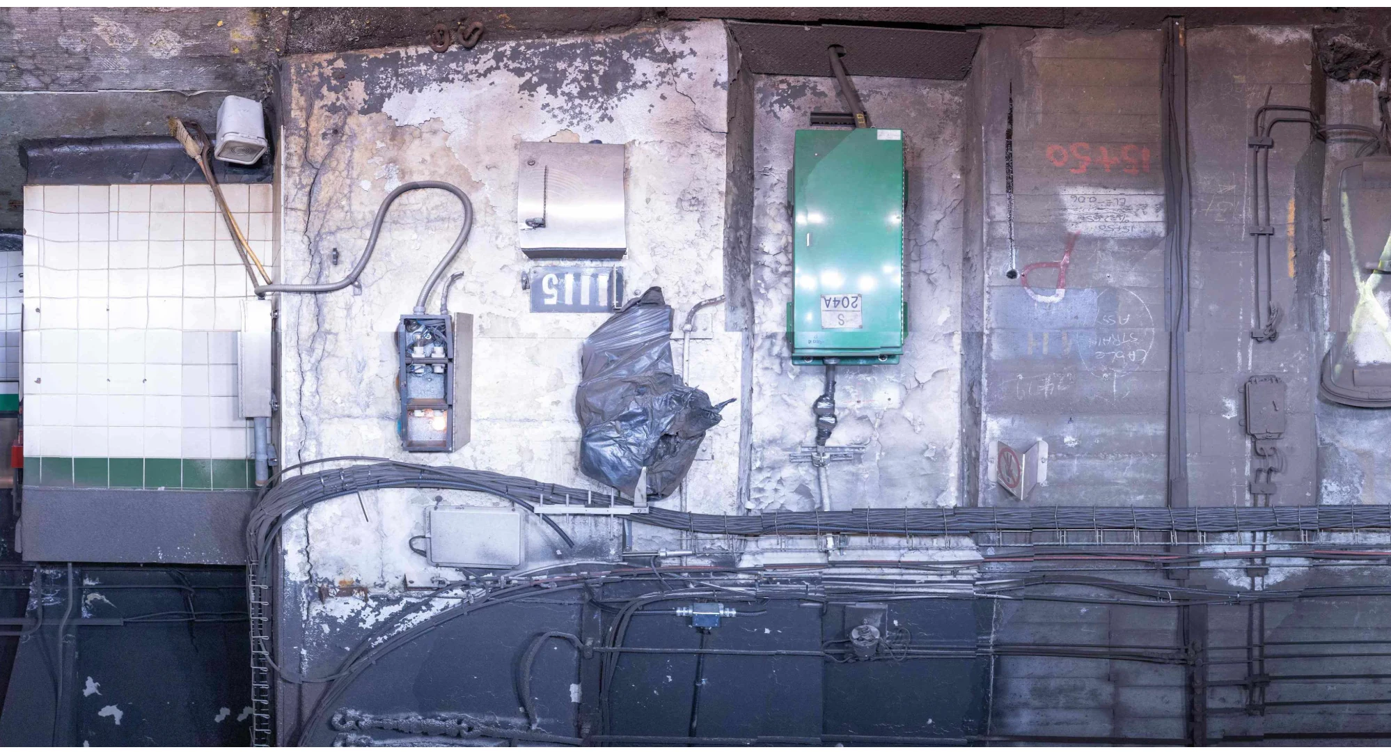
Tunnel Surface Mosaic
Rectified and stitched imagery preserves continuous surface context and can be tied to stationing, mapped findings, and inspection history.
Image-based screening is preliminary. Final defect type, extent, severity, and cause require field verification, measurement, sounding, and engineering judgment as applicable.
See the TSM capability →Capabilities
The pieces are designed to work together, but they can also support an existing inspection program individually.
Support inspection teams with access coordination, imagery collection, and condition documentation during field work. Qualified inspectors perform the required hands-on inspection and verification.
Explore capability →02High-resolution imagery and spatial data collection to support inspection and documentation of tunnels, transit facilities, bridges, buildings, and other infrastructure assets.
Explore capability →03Rectified and stitched tunnel imagery organized into a continuous, station-referenced visual record for inspection reference and documentation.
Explore capability →04Organize inspectors' findings and preliminary image observations in location-linked records to support field review, documentation, and comparison across inspection cycles.
Explore capability →05Review imagery and prior condition records to help inspection teams prepare for field work and check documentation. Image observations are preliminary; inspectors verify conditions in the field.
Explore capability →06Connect imagery, condition records, inspection history, and engineering observations into deliverables that support reporting and lifecycle planning.
Explore capability →Inspection support deliverables
An engagement can bring these outputs together. The mix depends on the asset, scope, and inspection needs.
High-resolution imagery and spatial capture preserve visible conditions in a record the team can revisit.
Location-linked observations and persistent defect IDs keep known findings connected to their inspection history.
Connected views and records support desktop review, prior-cycle comparison, and planning for field verification.
Organized field observations, images, and verified findings support the inspection team's report preparation.
A maintained condition baseline gives future inspection and maintenance teams a starting point.
Related UrbanTech experience
These UrbanTech projects show the inspection, reality-capture, condition-documentation, and asset-record methods informing UrbanSight.
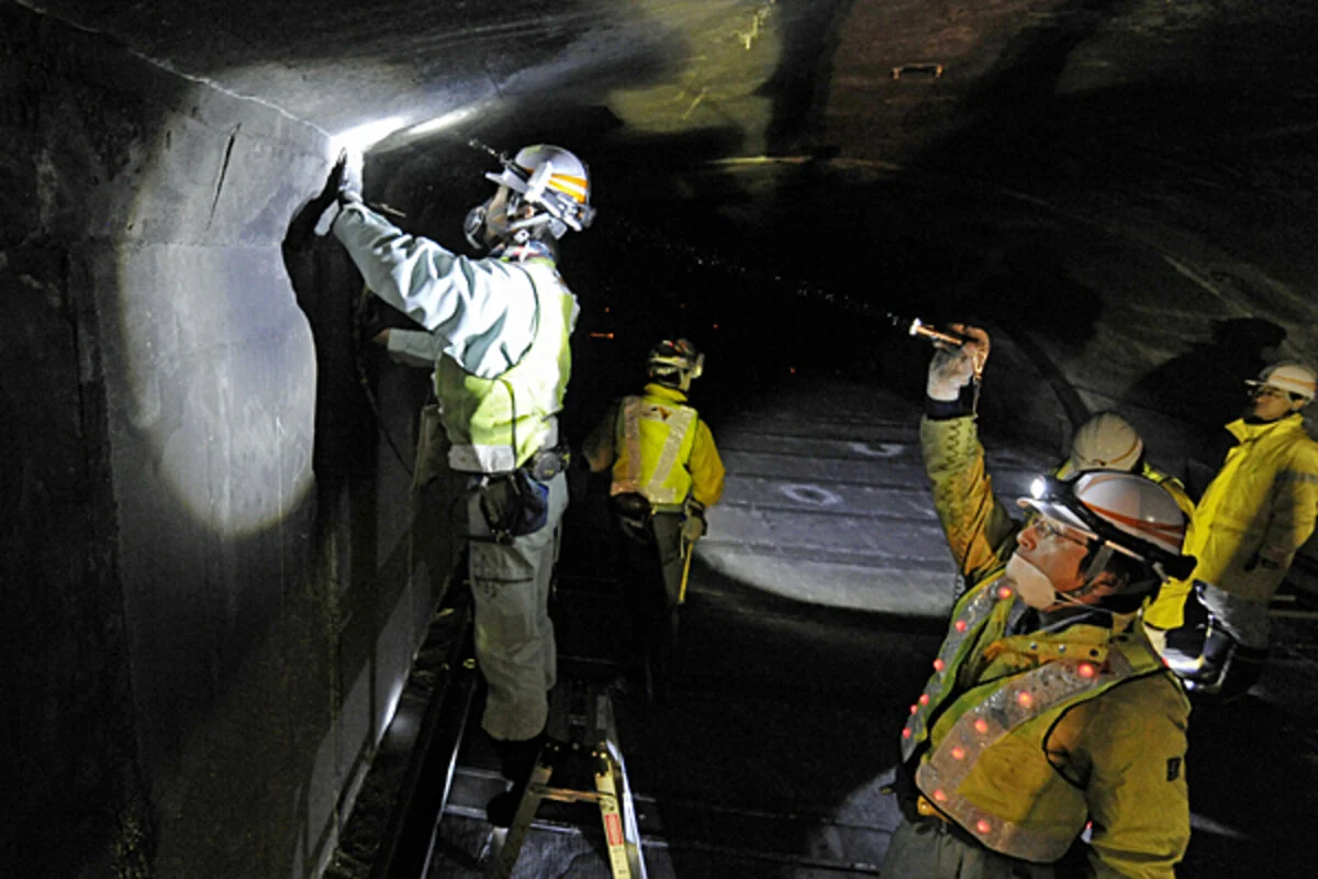 Tunnels · Transit
New York Metropolitan Area
UrbanTech-developed tools and services for imagery collection, condition documentation, and record management in support of recurring tunnel inspections.
View experience →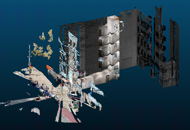 Transit · Buildings
East Harlem, Manhattan, New York
Building condition assessment, structural risk assessment, engineering survey support, and reality capture for structures along the Phase 2 alignment.
View experience →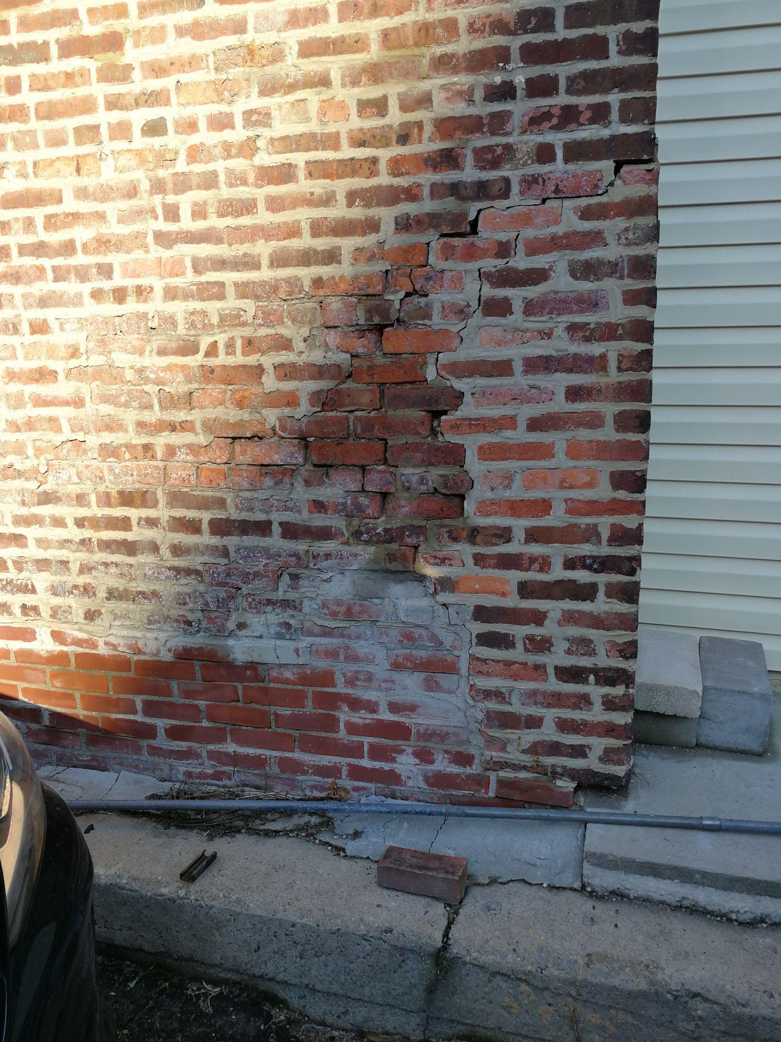 Buildings · Condition Assessment
New York, New York
UrbanTech structural engineering, support-of-excavation design, and condition assessment of adjacent existing structures before excavation.
View experience →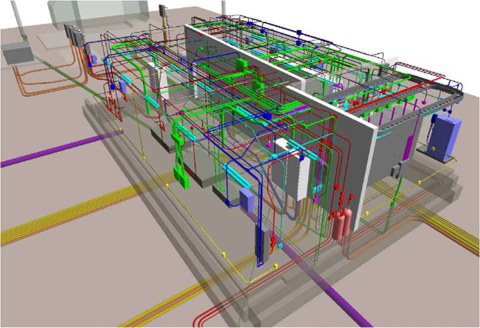 Bridges · Transportation
New York / New Jersey
UrbanTech LOD 500 as-built BIM modeling for bridge utility conduit systems as part of broader construction engineering support.
View experience →Field first
UrbanSight supplies reference imagery and records that help inspectors locate prior findings and document current observations. Qualified professionals perform the required field inspection, sounding, measurement, and engineering evaluation.
Why UrbanSight is different →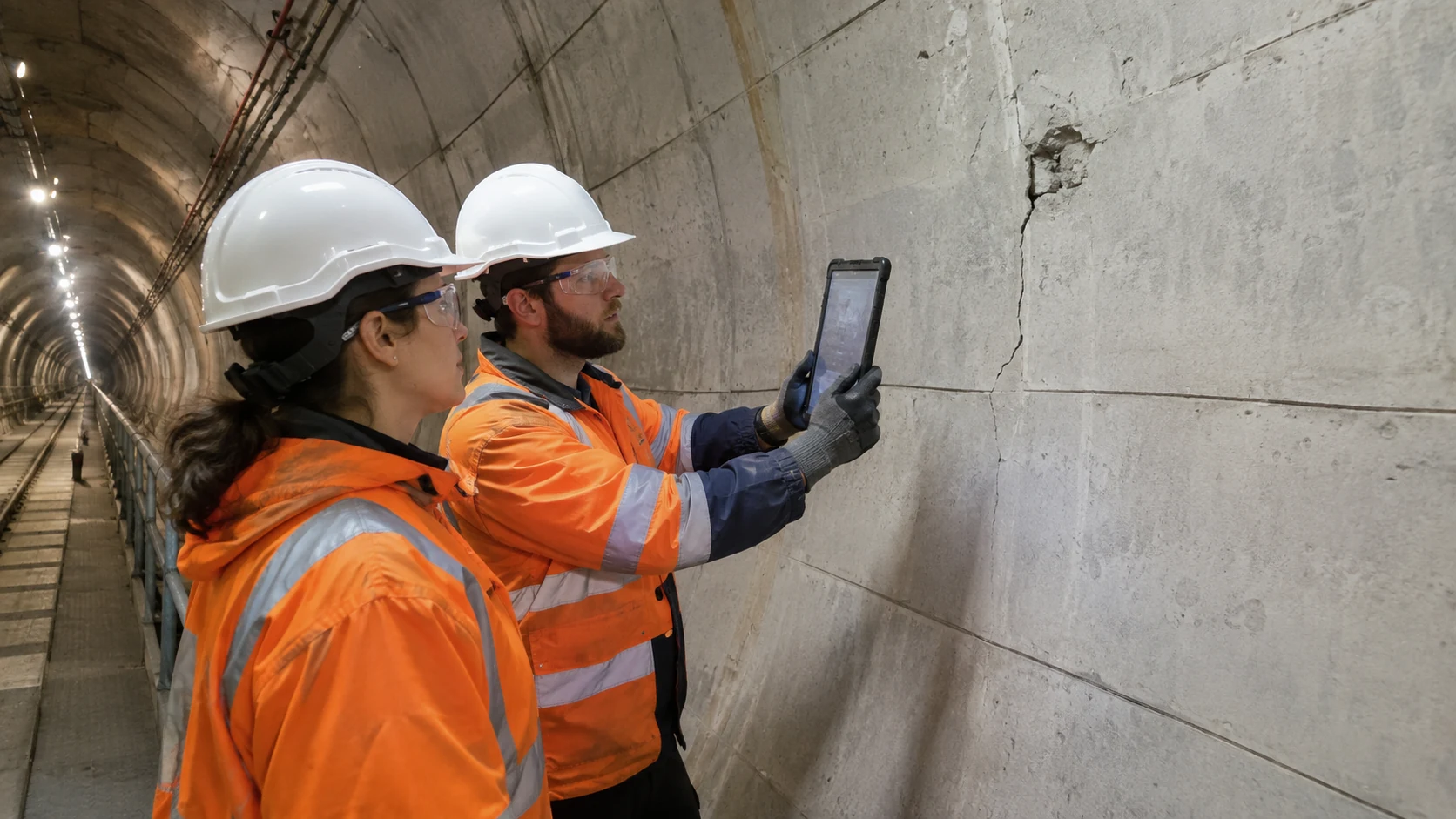
Start with a pilot
Tell us about the asset, inspection interval, access window, existing records, stationing, and the questions you want the next cycle to answer.