Coordinate inspection support & data capture
Coordinate access, imagery collection, and documentation support with the inspection team. Inspectors determine and perform the required field work.
UrbanSight inspection support workflow
Tools and services that fit alongside an inspection program: collect imagery and spatial data, organize findings, provide reference information for field inspection, and maintain records across inspection cycles.
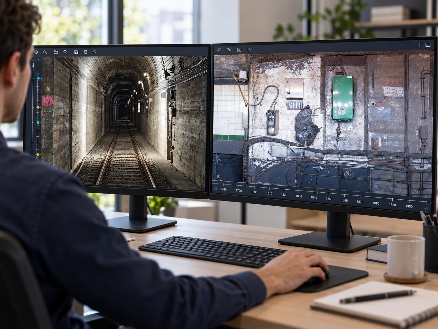
Illustrative digital review scene using UrbanTech tunnel imagery.
Digital data acquisition
UrbanTech's tunnel workflow uses overlapping high-resolution imagery to create broad visual coverage of tunnel surfaces. The resulting imagery can be rectified, stitched, and linked to stationing for repeatable inspection reference.
Step by step
Coordinate access, imagery collection, and documentation support with the inspection team. Inspectors determine and perform the required field work.
Capture overlapping high-resolution imagery and spatial data needed to reconstruct the visible condition of the asset.
For tunnel work, imagery can be geometrically corrected and stitched into a continuous Tunnel Surface Mosaic tied to stationing and location.
Transfer prior findings, assign persistent identifiers, and connect conditions to station, element, type, extent, imagery, notes, and inspection history.
Organize prior findings, flag preliminary image observations for inspector review, and check record quality to support field inspection planning.
Provide location-linked reference information while qualified inspectors examine current conditions and perform sounding, tactile examination, measurement, and other work required by the inspection scope.
Add the inspection team's current observations and verified findings to maintain useful records for future inspection and maintenance work.
Continuous context
A TSM converts a sequence of overlapping field images into a continuous visual condition record. Station markers and mapped findings can make locations easier to recover and compare during recurring inspections.
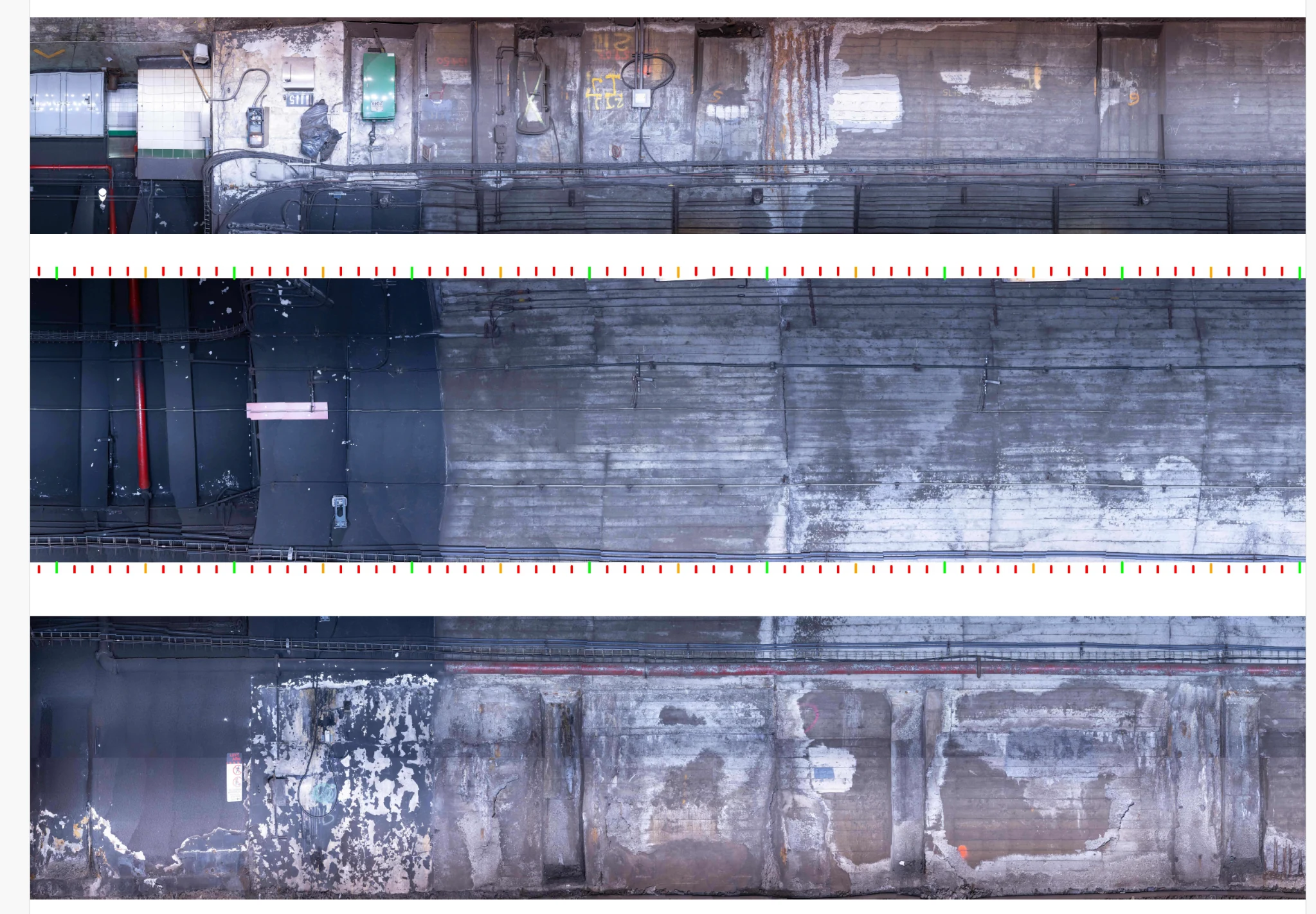
Actual UrbanTech Tunnel Surface Mosaic derived from field imagery.
Inspection team's field work
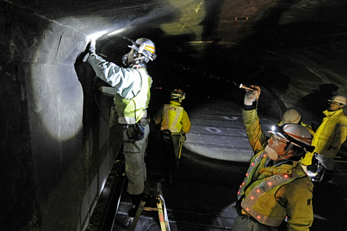
Inspectors perform the field observations, measurements, photographs, and verification required by the inspection scope.
UrbanSight support alongside inspection
UrbanSight helps make prior imagery and findings accessible and connects new field observations to the inspection record.
Field verification required
Visible-condition screening can help organize the work. Final classification, limits, severity, and cause require field verification, sounding, measurement, and engineering judgment as applicable.
Pilot the workflow
A pilot can establish capture methods, station/location accuracy, field usability, comparison workflow, and the deliverables that best fit your inspection program.